
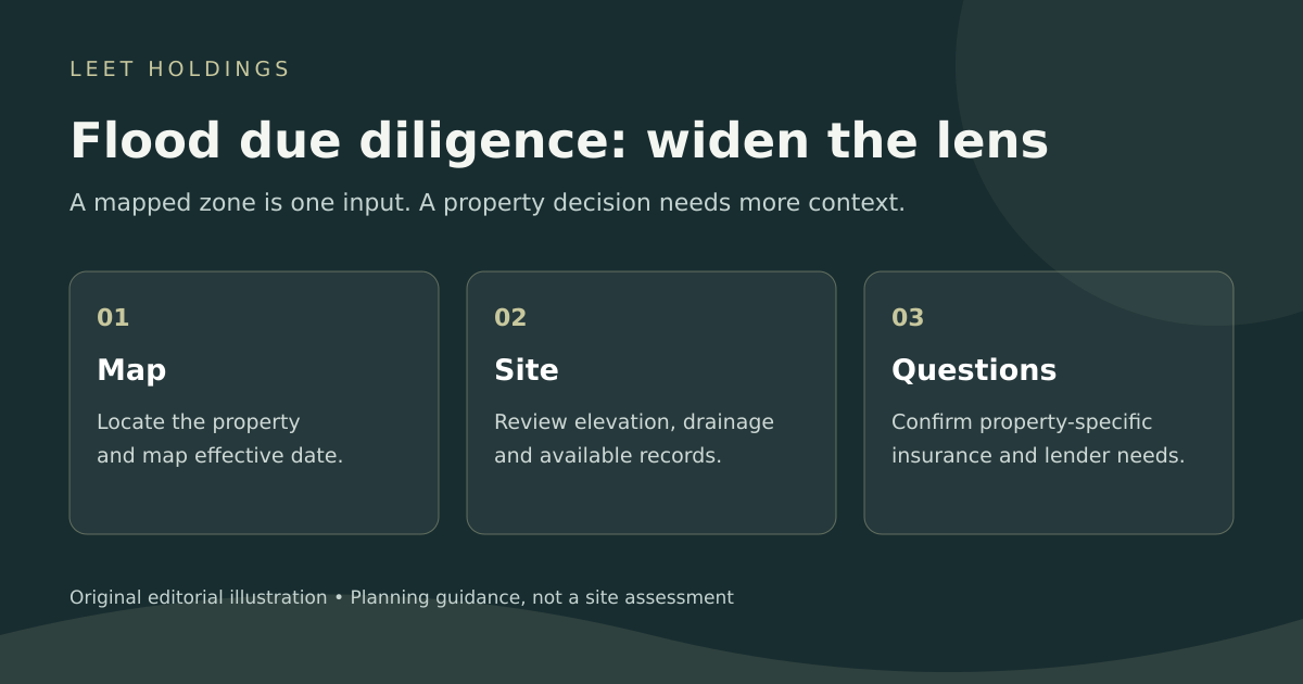
A flood-zone label is a useful starting point when you are reviewing coastal property. It is also remarkably easy to ask it to do too much. One letter on a map cannot answer every question about a building, its drainage, an insurance policy and the plan for getting people out safely.
For a buyer or owner, the practical job is to assemble those answers separately, then compare them. Start with the official mapping, keep the supporting records, and make the unresolved questions visible before they become expensive assumptions.
Start with the current map, and keep the date
Use the FEMA Flood Map Service Center as the starting point for federal flood-hazard mapping. The Kentucky Energy and Environment Cabinet’s guide to this national resource explains that it provides flood-map panels, studies and Letters of Map Change, with effective, preliminary and historic products available. Keep those different map statuses straight when comparing documents.
Save the map panel and its effective date with your property records. Identify the building you are evaluating rather than relying on a search pin alone. If a boundary, map revision or property description is unclear, take the specific document and question to the local floodplain administrator. A screenshot without its legend and date is a souvenir, not much of a research file.
Read “lower risk” carefully
The NFIP’s flood-risk guidance explains that lower- and moderate-risk areas still experience flooding. It also identifies building characteristics that matter, including ground and first-floor elevation, foundation configuration and the location of heating, electrical and other equipment.
That gives a buyer better questions than “What letter is it?” Where is the lowest occupied floor? What evidence supports the stated elevation? Where are the electrical panel and mechanical equipment? Which observations need a qualified surveyor, engineer or inspector? Keep facts and unanswered questions in separate columns. The asking price does not become more reliable because the spreadsheet has nice colors.
Investigate rainfall and drainage, too
Coastal research can become so focused on the water beyond the beach that it overlooks water arriving from above. Bay County’s flood-prevention guidance emphasizes rainfall as a major local flooding concern and explains how blocked stormwater inlets and ditches can contribute to problems.
During an authorized inspection, ask about observed ponding, drainage maintenance, prior water entry and any related repair records. Look for the evidence behind answers, rather than treating “we have never had a problem” as a measured finding. Do not enter floodwater or interfere with drainage infrastructure to investigate.
For local follow-up, Bay County lists resources for historical flooding, floor-elevation questions and localized flood hazards. Confirm the correct city or county jurisdiction for the property. A nearby address can sit under a different permitting authority.
Find the elevation records before guessing
An existing elevation certificate may be a useful part of the file. The Florida Division of Emergency Management provides a public search route and directs people to the relevant local government when a certificate cannot be located through its system. The state also cautions that it does not warrant the accuracy of certificates available through that website.
Match the address and building, check the document date, and ask a qualified professional whether it represents current conditions. An absent search result does not establish that no certificate exists. Nor should an old document quietly be treated as proof that every later alteration was evaluated. Record what has actually been reviewed.
Keep coverage questions separate from the map
Most homeowners insurance does not cover flood damage, according to the NFIP. A mortgage-related insurance requirement and an owner’s complete protection needs are different questions. Have a licensed insurance professional review the actual property, intended occupancy and proposed policy.
Ask what covers the building and contents, which deductibles and exclusions apply, and what remains outside the policy. If rental use is planned, disclose it and ask specifically about coverage relevant to that use. Get the answers in writing. Do not assume an existing owner’s premium, policy or coverage will transfer unchanged to a different buyer or operation.
Check evacuation information separately
Flood zones and evacuation zones serve different purposes. Hillsborough County’s explanation illustrates why one designation cannot substitute for the other. For the actual property, use the Florida Division of Emergency Management’s evacuation resources and the responsible local emergency-management office.
Keep a current plan for occupants, pets, transportation and communication. During an emergency, follow official local instructions; a saved property-research folder is no substitute for a current evacuation order.
Turn the research into a usable decision file
A practical file brings together dated mapping, available elevation records, inspection observations, drainage and repair information, written insurance answers and emergency-planning references. Assign each open question to someone qualified to resolve it. That makes the next conversation more useful, whether the outcome is more investigation, a revised plan or walking away.
Learn about Leet Holdings’ approach and our current portfolio. Have a property or partnership to discuss? Start a business conversation with the relevant facts and documents.
Sources checked October 31, 2026. General property-research guidance, not a property-specific flood determination, engineering assessment, insurance recommendation or legal advice. This article does not assign a flood zone or risk rating to Poinciana Palms.